Course Documents
The Most Important Course Documents

These first documents need to be downloaded and read by each member of the class, as the
fundamental guidelines for the course are provided therein.
Syllabus
The course syllabus lists the general requirements and expectations for the course. All specifics for the course and for
the assignments mentioned in the syllabus can be located on this website. Check both the syllabus and this website
for instructions regarding assignments.
Each professor should make available to the students a syllabus of the course. This syllabus needs to include such information
as an outline of the course topics, a listing of necessary assignments, a schedule of test dates, and the grading policy. Why?
The syllabus serves as an ‘offer’ between the student and the professor. A syllabus does not remove the student’s
responsibility for attending class sessions, nor does it constrain the professor from changing the specific elements of the
syllabus.
Style Sheet
The course stylesheet explains how to format all papers for this class. All papers that you hand in for credit, except for in-class activities,
must adhere to this stylesheet. Failure to adhere closely to the stylesheet may result in you failing to pass this course. At the very
least, a student who does not follow the stylesheet will not receive as many points as he/she would otherwise receive.
References
This document explains and shows how to properly reference all of your works for this class. The APSA
is the American Political Science Association. This document provides explanations how to properly
cite and reference your sources. The easiest way to fail this class is to fail to cite and reference
your sources. The easiest way to lose points in this class is to fail to cite and reference
properly.
What information must be cited? There is no need to cite facts deemed ‘common’ knowledge. How do we define common knowledge?
If the ‘common’ person knows it as a fact, then it is common knowledge. However, there are two exceptions to this rule: if your
entire argument centers on a fact, or if the fact is contentious in the discipline (though not contentious to the common person). In both
of these cases, cite the fact. It is better to over-cite than under-cite.
Wikipedia is a wonderful encyclopedia, and Dictionary.com
is a fantastic dictionary—both are available online 24/7/365. However, neither are acceptable sources for any work you do in this
course. The reason Wikipedia is not acceptable is identical to the reasons encyclopedias are not, in general, acceptable: they are
excellent quaternary sources. A primary source is a first-hand account of an event. A secondary source is an analysis using primary
sources. A tertiary source is summary or compilation of primary and/or secondary sources. Each level we move out introduces inaccuracies and
blurring of the differences between terms and theories within the discipline. Encyclopedias are quaternary sources. As such, they give good
general background on items, but do not successfully distinguish the fine shades of meaning. This is also the reason using dictionaries
is not acceptable. The audiences are the general public. As such, words are used in different ways than we use them in the discipline.
The Final Examination

The final examination for this course will take place in the regular classroom on 29 April 2008 from 8:00 until 9:40. The final version of the review sheet is now posted. For your pleasure, here is a sample examination. Also, here are the answers to the sample examination.
Class Assignments
Foreign News Happenings briefs
Throughout the semester, several events will take place in the world that will have a significant impact. One important skill is to be able to take a news story and draw implications for future actions from it. This is the primary purpose of the Foreign News Happenings briefs. A second pedagogical purpose for these briefs is to encourage you to become more familiar with the world.
A1: Atlas Hypotheses
The press is free to write just about anything it so desires (libel is illegal). To some, this is both a blessing and a curse. This results in both a free, investigative press and a hodgepodge of misinformation based on the flimsiest of logical threads. The Causal Hypotheses assignment will give you the opportunity to parse through (online) newspaper stories and really think about their causal statements.
Showing causality requires three things: high correlation, theoretic feasibility, and temporal precedence. In this assignment, you are not required to show causality; you are only required to write causal hypotheses.
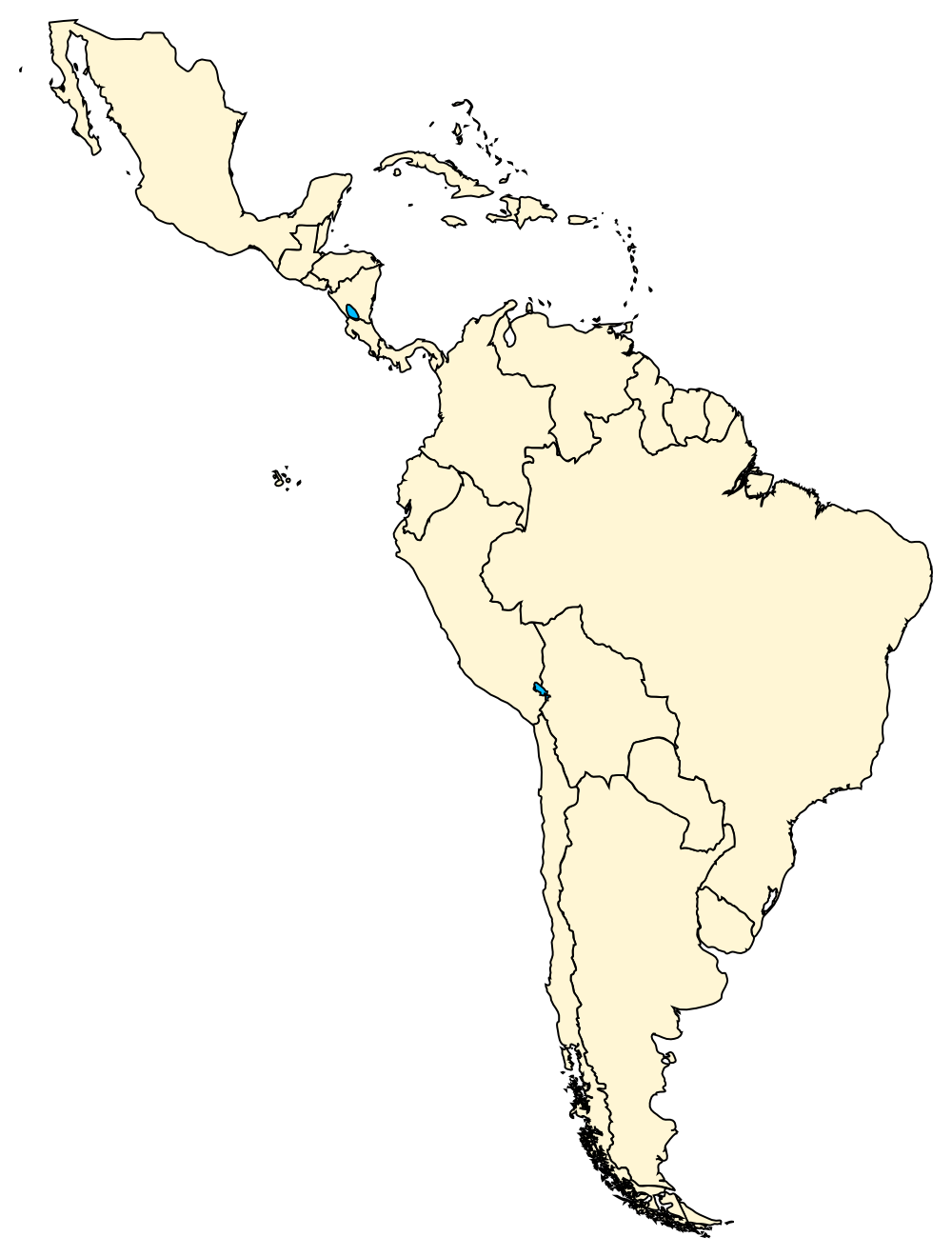
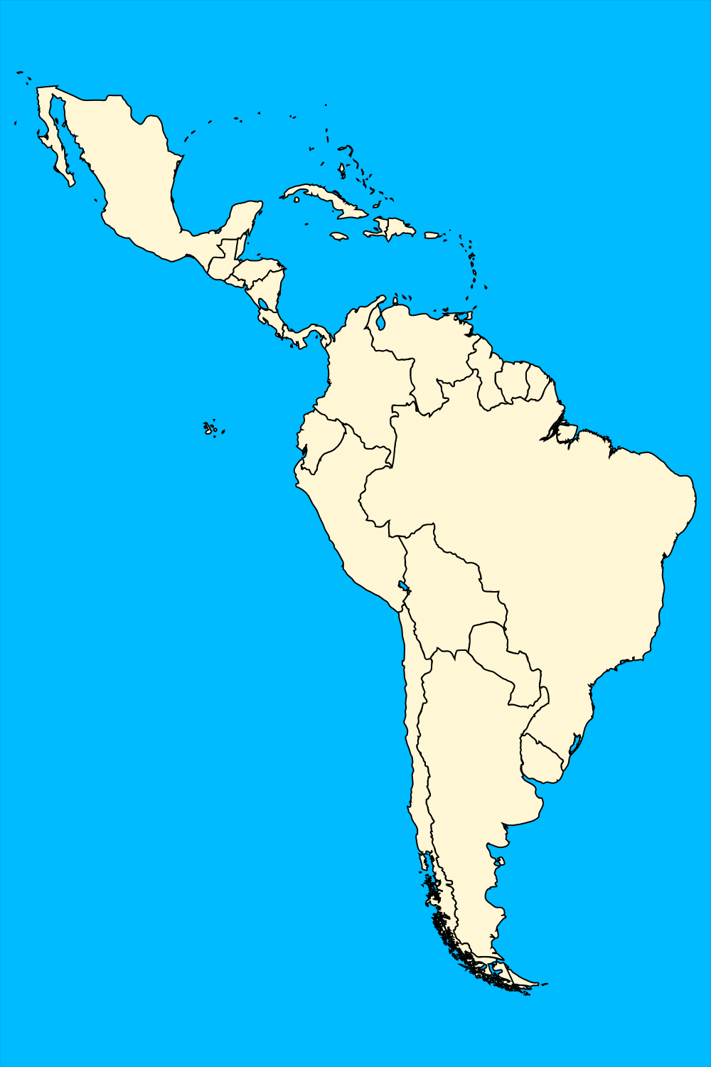
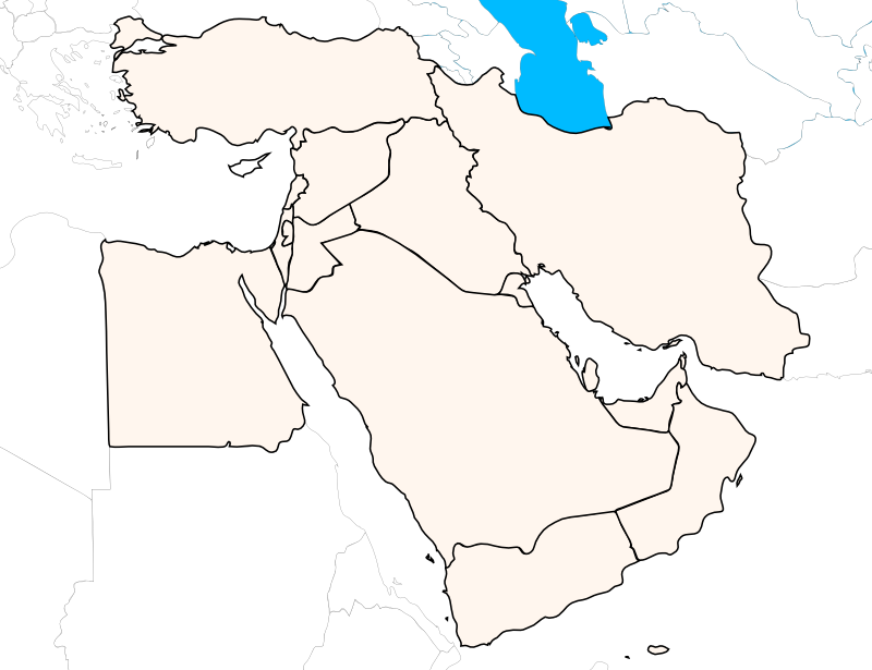
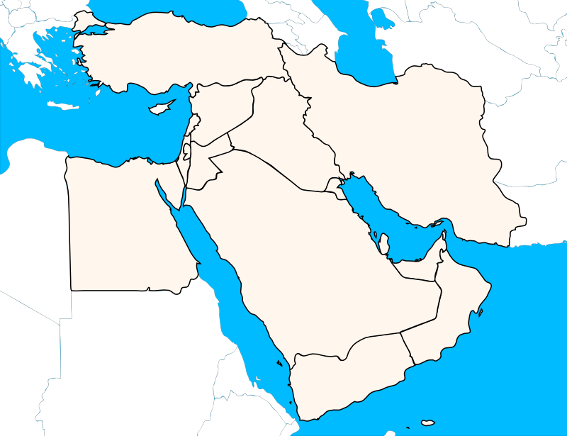
Peruse through the atlas for the course. Compare maps. Ruminate on similarities across maps. Contemplate if there may be causal connections between the variables measured on one map with those measured on another. Find the connections. Write five causal hypotheses using the maps in the atlas.
A2: Effective Number of Parties
One of the perquisites to have a consolidated democracy is having more than one party contesting the election. Without multi-party elections, the winner of the election is known and the elections are unnecessary. Thus, measuring the number of parties in an election is necessary. However, how do we measure the number of parties in an election?
In this assignment, you are to calculate the ENP for each of your six assigned states. Make sure you show your work in tabular form (as in the two examples).
A3: Travel Activity
One of the purposes of this course is to familiarize you with the world outside the United States. One way of experiencing the world (and perhaps the most exciting way) is to travel to far away places with strange sounding names. This assignment has you choosing an exotic city and planning a trip to that city.
Tunawars Assignments
TW: Annual Reports
Each simulation-year, you are required to submit an annual report detailing the number of ships to send out and any economic transactions (ships to buy, ships to sell, etc.).
TW: The Tunawars Journal
During the Tunawars Simulation, each student is required to keep an annual journal. This journal
(worth 40 points) needs to contain both relevant information about the state of your fleet and your
thoughts about strategy. It needs to be completed each simulation year. I will collect all of the journals
within a week of when the simulation completes.
For each simulation year, you need to include the following information in an easy-to-read format:
Name; State; Current Year; Current rank; Annual profit from last year; Starting funds for this year
(Current cash-on-hand); Total number of ships owned; Total number of ships you will send out this year;
Price of fish; Number of fish caught; Total number of ships everyone sent out last year; US$ value of one
of your currency; The change from last year (also in US$); Your current strategy; How well you think your
strategy is working; Your new strategy, if you are going to change; and Your reflections on how this simulation
applies to the current topic in class.
While you may order this information however you wish, I have provided a link to the
template I used.
TW: Debriefing Paper
The Tunawars Debriefing paper represents a chance for you to share the lessons you learned from the Tunawars activity. In a well-organized essay,
and pulling in class material from the semester, what lessons did the Tunawars simulation teach?
This short paper (about 4 pages) is due on April 25, 2008. It will be graded on how well you pull in class material and explain it
using the examples of the Tunawars activity. Do not forget to properly cite and reference your sources. I would hate to fail anyone
on this assignment.
To help you think more about your role in the simulation and how the other states made their decisions, here are the journals for four of the
states:  Greece,
 Russia,
 Spain, and
 Syria.
Greece,
Russia,
Spain, and
Syria.
The Geography Component
This course is, first and foremost, about the world. One cannot truly understand the relationships in the world without understanding the political geography: What caused the border disputes between Ecuador, Peru, and Chile? Why are Honduras and El Salvador fighting? What is so special about the relationship between the Democratic Republic of the Congo (DRC) and the Republic of the Congo? Why are Vietnam and China not stronger allies? Why is Pakistan an ally of the United States and not India? Why did Hoxha align Albania with China instead of the Soviet Union? Why do Transdneister, the Turkish Republic of North Cyprus, the Western Sahara, and Somaliland exist, de facto? Borders, proximity, and colonialism help explain all of these questions.
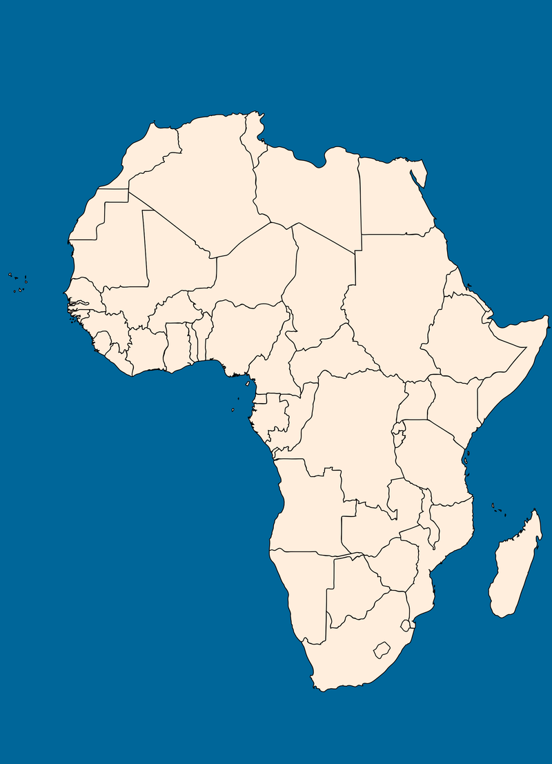
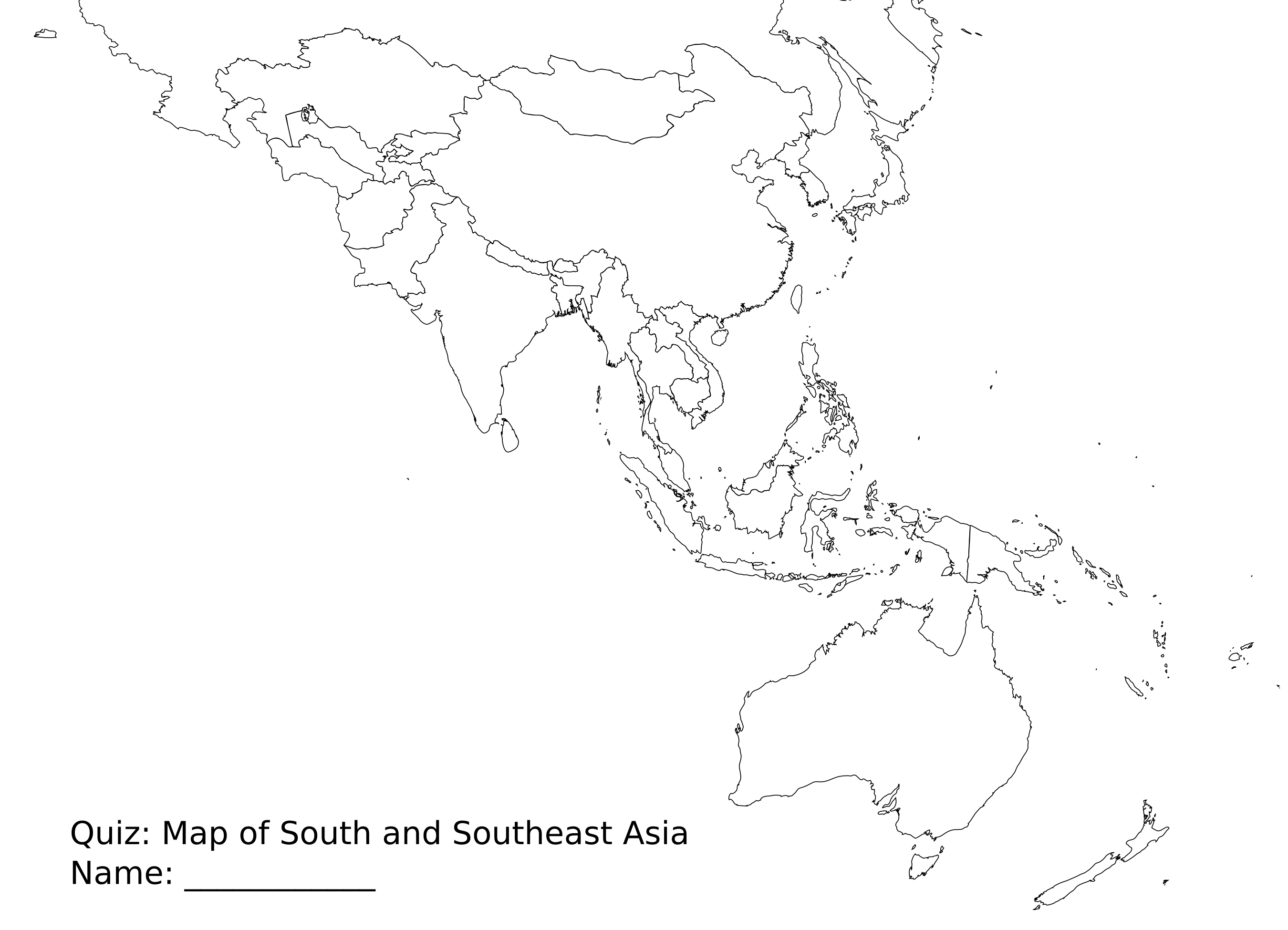
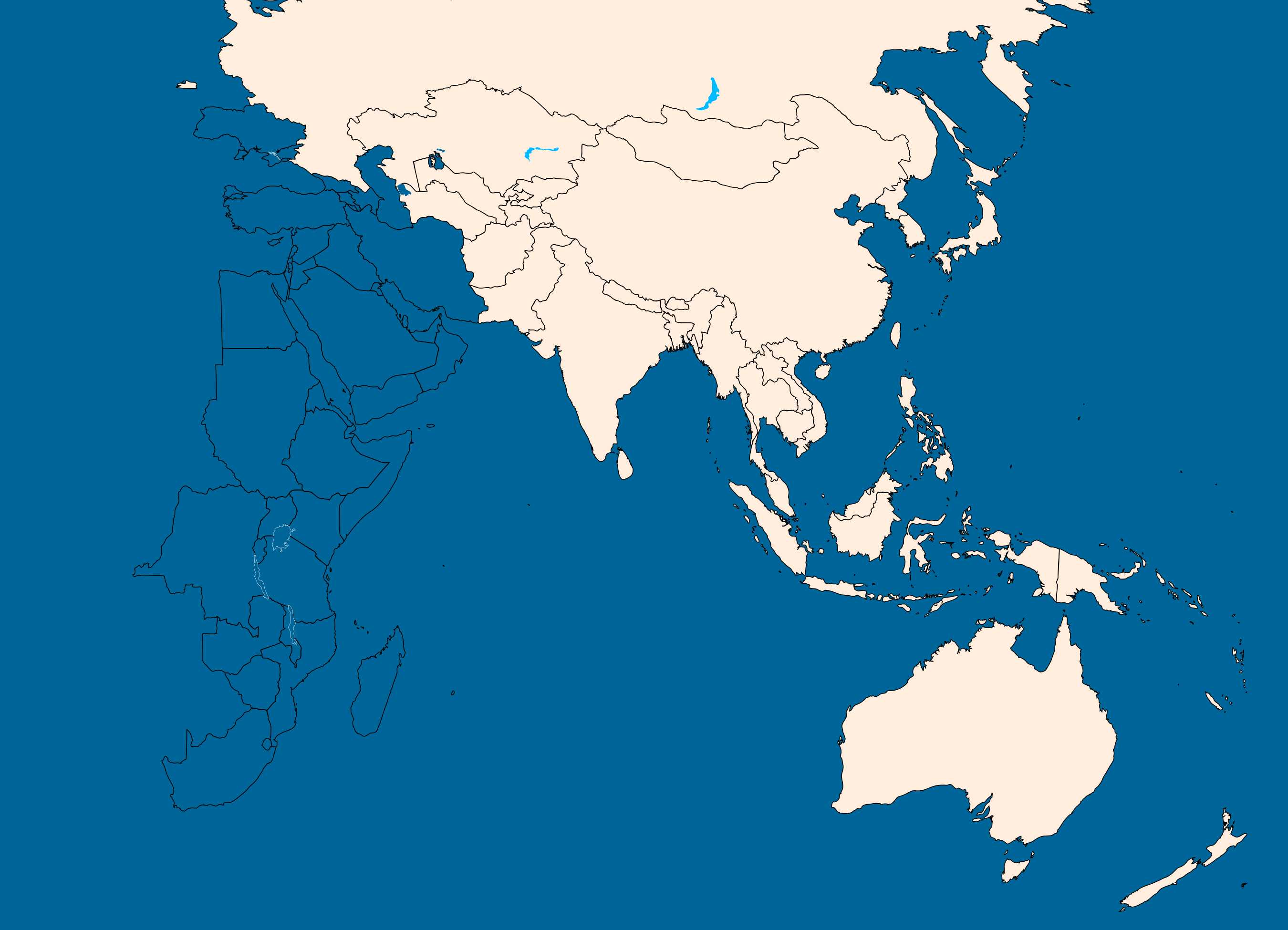
To encourage all of you to learn the locations of the states and of important bodies of water, I will give several map quizzes throughout the semester. Only the scheduled map quizzes will count; however, I will give more to give you direct feedback on how well you know the maps. The first counted quiz will cover Africa (print, display); it will happen on January 30. After that, there will be quizzes on South and Southeastern Asia (outline, color: February 11), Latin America (outline, color: February 25), the Middle East (outline, color : March 19), Eastern Europe (outline, color: April 2), and the entire world (all of the maps: April 16). Did you do poorly on one of the quizzes? Do not worry. You will be given an opportunity in the future to retake one of the quizzes. Information to follow: Please check here in April.
Practice Quizzes
There are two purposes behind spending class time on practice quizzes. The first, and most obvious, reason is that they give you the practice in determining what formats the quiz can take. The second reason is that the quizzes allow me to continue broadening your exposure to states outside the West. Thus, the anecdotes I tell allow you to put a ‘face’ to the state’s name.
- Africa offered much by way of fodder for discussions. While many of the stories set in Africa focus on death, destruction, poverty, and illness, the Travel Activity presentations allow us to know a better side of Africa. The practice quizzes for Africa occurred January 14 (the north); January 18 (the south); January 23 (entire continent); and January 28 (also, entire continent). I gave the actual map quiz for Africa, as scheduled, on January 30.
- The Asian states offered a series of “stans” in the center and a variety of states in the east. We were unable to give a face to these states yet, but future Travel Presentations will do so. You can look forward to a trip to China, India, and eastern Russia. As far as the practice map quizzes, we had practice quizzes on February 1 (entire region); February 6 (the “stans”), and February 8 (Southeast Asia) in preparation for the counted quiz of February 11.
- The third world region is Latin America. Our pilgrims will travel to Venezuela and to Brazil. Seeing the beauty that is Caracas and the splendor that is Rio de Janeiro will help us to understand more closely our neighbors to the south. The relatively few states on the continent will also allow us to continue our examinations of Africa and Asia, especially in terms of the new topics in the class at that time. The first Latin America quiz was on Friday, February 15 (entire region). A second quiz took place on Wednesday, February 20. The planned quiz was on February 25, but was postponed to February 27, due to illness.
- The fourth world region is the Middle East. The first Middle East quiz greeted our intrepid travelers on their return from Spring Break, Monday, March 10. We had a quiz on March 14, which included news happenings as a major aspect. The final practice quiz (March 17) covered the Middle East, as well as the Tunawars states. The planned quiz took place on March 19.
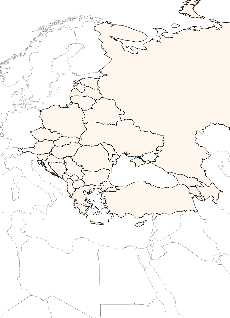
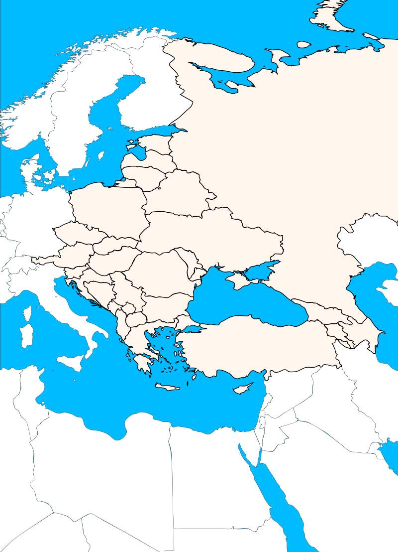
- The fifth world region is Eastern Europe. The first practice quiz showed its fluffy, bunny tail on the first class after Easter, Wednesday, March 26. The second practice quiz took place on Monday, March 31. The planned quiz took place on April 2.
- And finally, there was the world. I will test all states on the listing. The first practice quiz was on April 7, the second on April 9.
The listing of states you will have to know for the map quizzes is now posted. In addition to these maps, you are assigned these six states for this semester. Make sure you can find each states, know each capital, each currency, each government style, and each flag: The states have been assigned. When you have signed in (and refreshed the page), your states will be listed here.
![[=]](ruritania/flag15-rk.png "Flag of Ruritania") 19..2008
19..2008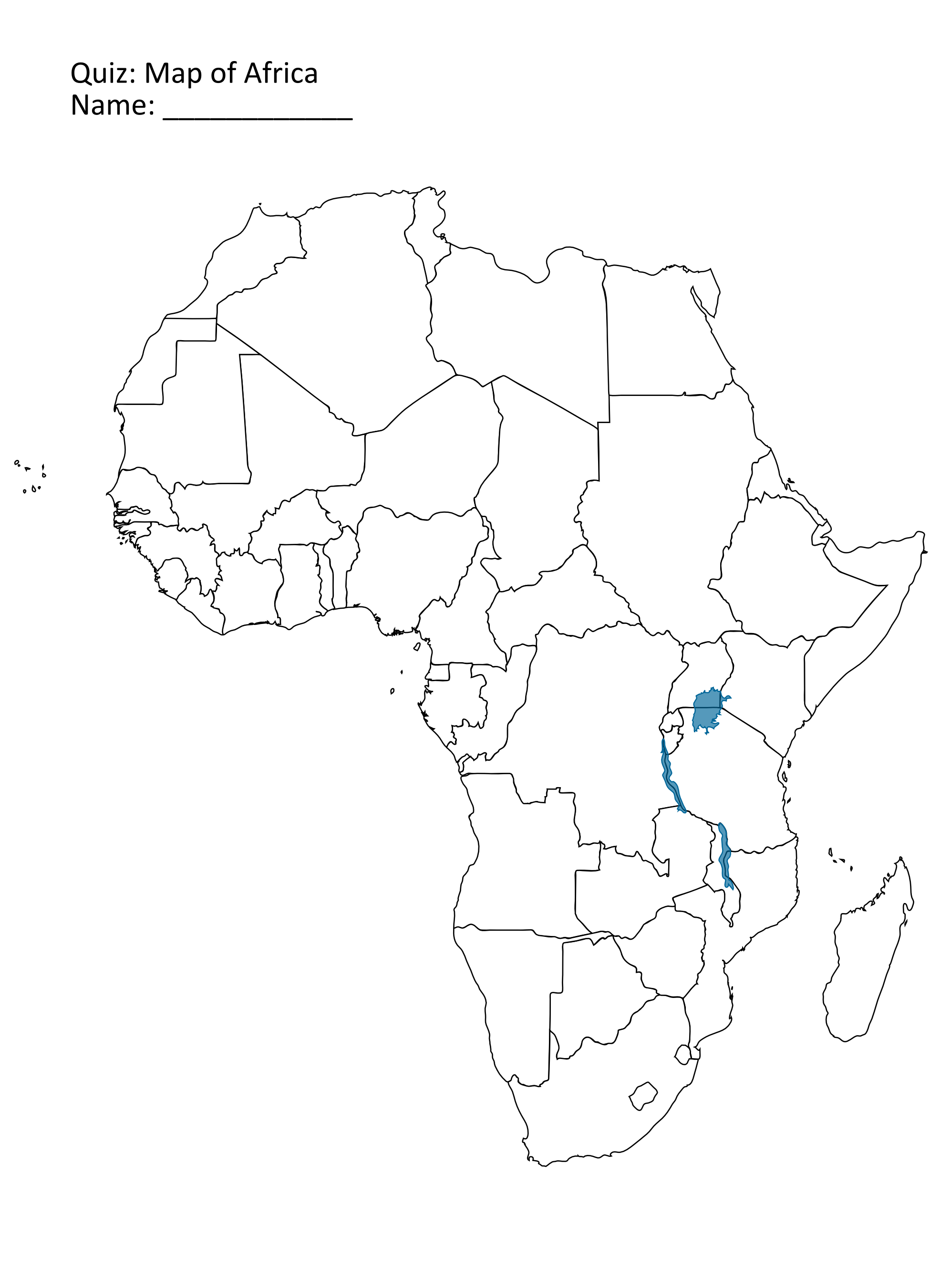